The track to Sprucely Farm
Introduction
The photograph on this page of The track to Sprucely Farm by Robert Graham as part of the Geograph project.
The Geograph project started in 2005 with the aim of publishing, organising and preserving representative images for every square kilometre of Great Britain, Ireland and the Isle of Man.

There are currently over 7.5m images from over 14,400 individuals and you can help contribute to the project by visiting https://www.geograph.org.uk
The track to Sprucely Farm
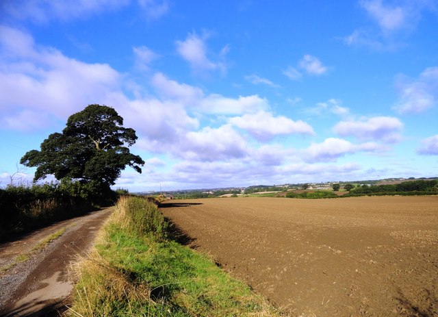
Image: © Robert Graham Taken: 18 Sep 2013
This track leads off the A177 to the farm, which lies in the fields to the east of Bishop Middleham village. The village can be seen in the distance.
Images are licensed for reuse under creativecommons.org/licenses/by-sa/2.0
Image Location
Latitude
54.673865
Longitude
-1.462503