Farm track off Loxley Road
Introduction
The photograph on this page of Farm track off Loxley Road by David P Howard as part of the Geograph project.
The Geograph project started in 2005 with the aim of publishing, organising and preserving representative images for every square kilometre of Great Britain, Ireland and the Isle of Man.

There are currently over 7.5m images from over 14,400 individuals and you can help contribute to the project by visiting https://www.geograph.org.uk
Farm track off Loxley Road
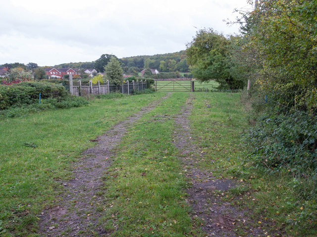
Image: © David P Howard Taken: 19 Oct 2013
The field just through the far gate is subject to a planning proposal to build about 75 houses, adjoining the edge of the Dovehouse Estate, which can just be seen on the left hand edge of the photo. The proposed access to these new houses would be via Oxford Way and Dovehouse Drive. There is no proposal to make a road through this small strip of land onto Loxley Road, as the junction would be too dangerous due to adverse sight lines.
Images are licensed for reuse under creativecommons.org/licenses/by-sa/2.0
Image Location
Latitude
52.1854
Longitude
-1.609131