Constance Street, Manchester
Introduction
The photograph on this page of Constance Street, Manchester by Stephen Richards as part of the Geograph project.
The Geograph project started in 2005 with the aim of publishing, organising and preserving representative images for every square kilometre of Great Britain, Ireland and the Isle of Man.

There are currently over 7.5m images from over 14,400 individuals and you can help contribute to the project by visiting https://www.geograph.org.uk
Constance Street, Manchester
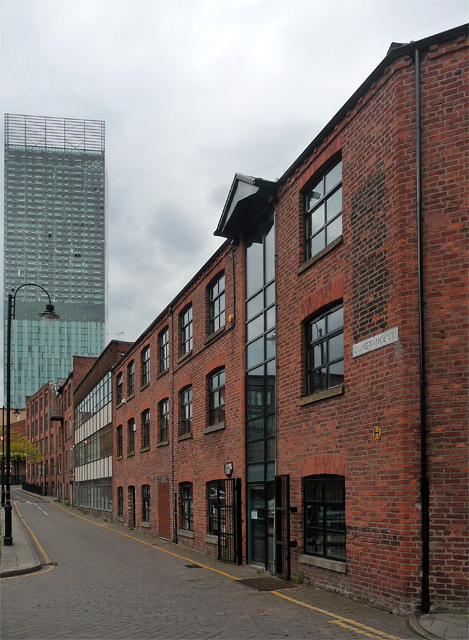
Image: © Stephen Richards Taken: 17 May 2012
This little corner of Manchester between Whitworth Street West and the River Medlock has narrow streets and small Victorian warehouses, now mostly converted to offices and flats. There is also a bit of post-war infill. The nearest building retains a vestige of its loading bay. Beyond is the Beetham Tower (Image]).
Images are licensed for reuse under creativecommons.org/licenses/by-sa/2.0
Image Location
Latitude
53.473158
Longitude
-2.250804