Worthington Mews, Wellington
Introduction
The photograph on this page of Worthington Mews, Wellington by Jaggery as part of the Geograph project.
The Geograph project started in 2005 with the aim of publishing, organising and preserving representative images for every square kilometre of Great Britain, Ireland and the Isle of Man.

There are currently over 7.5m images from over 14,400 individuals and you can help contribute to the project by visiting https://www.geograph.org.uk
Worthington Mews, Wellington
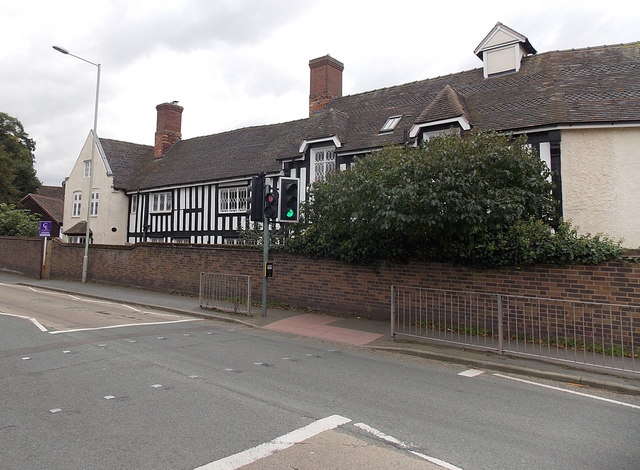
Image: © Jaggery Taken: 10 Oct 2013
Viewed across Holyhead Road. Now in residential use, the building used to be the Old Hall School, which relocated to Stanley Road.
Images are licensed for reuse under creativecommons.org/licenses/by-sa/2.0
Image Location
Latitude
52.695493
Longitude
-2.50955