Hildersham to Wadlow
Introduction
The photograph on this page of Hildersham to Wadlow by John Sutton as part of the Geograph project.
The Geograph project started in 2005 with the aim of publishing, organising and preserving representative images for every square kilometre of Great Britain, Ireland and the Isle of Man.

There are currently over 7.5m images from over 14,400 individuals and you can help contribute to the project by visiting https://www.geograph.org.uk
Hildersham to Wadlow
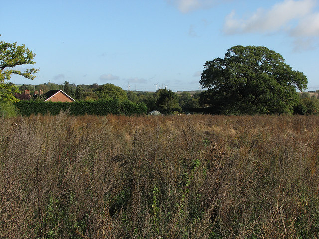
Image: © John Sutton Taken: 17 Oct 2013
A view across Hildersham (hidden in the valley) from near the main road, with some of the turbines of Wadlow Wind Farm on the skyline.
Images are licensed for reuse under creativecommons.org/licenses/by-sa/2.0
Image Location


Leaflet Map data © OpenStreetMap
Latitude
52.110143
Longitude
0.252394