Conservation pond
Introduction
The photograph on this page of Conservation pond by Elizabeth Scott as part of the Geograph project.
The Geograph project started in 2005 with the aim of publishing, organising and preserving representative images for every square kilometre of Great Britain, Ireland and the Isle of Man.

There are currently over 7.5m images from over 14,400 individuals and you can help contribute to the project by visiting https://www.geograph.org.uk
Conservation pond
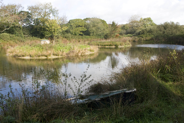
Image: © Elizabeth Scott Taken: 17 Oct 2013
I had a really careful look on Google Earth to check the location of this conservation pond because it doesn't appear on the OS Explorer 105 map.
Images are licensed for reuse under creativecommons.org/licenses/by-sa/2.0
Image Location
Latitude
50.281567
Longitude
-5.120661