Rhyd Crynfe Ford
Introduction
The photograph on this page of Rhyd Crynfe Ford by Alan Richards as part of the Geograph project.
The Geograph project started in 2005 with the aim of publishing, organising and preserving representative images for every square kilometre of Great Britain, Ireland and the Isle of Man.

There are currently over 7.5m images from over 14,400 individuals and you can help contribute to the project by visiting https://www.geograph.org.uk
Rhyd Crynfe Ford
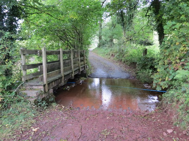
Image: © Alan Richards Taken: 17 Oct 2013
Heol gefn a arwain heibio i Ffarm Coed Mawr at Bontllechau. Yma mae'r ffordd yn rhydio Nant Crynfe. Back road that goes past Coed Mawr Farm (trans 'big trees') in the direction of Pontarllechau. The road at this location fords the Crynfe stream.
Images are licensed for reuse under creativecommons.org/licenses/by-sa/2.0
Image Location
Latitude
51.905478
Longitude
-3.826413