Lane to Lynher valley
Introduction
The photograph on this page of Lane to Lynher valley by Derek Harper as part of the Geograph project.
The Geograph project started in 2005 with the aim of publishing, organising and preserving representative images for every square kilometre of Great Britain, Ireland and the Isle of Man.

There are currently over 7.5m images from over 14,400 individuals and you can help contribute to the project by visiting https://www.geograph.org.uk
Lane to Lynher valley
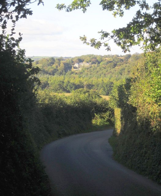
Image: © Derek Harper Taken: 10 Oct 2013
Taken further down the lane shown in Image On the far hillside is Newton Ferrers House, grade I listed country house: "the existing house was probably built in the 1680s and 90s" http://list.english-heritage.org.uk/resultsingle.aspx?uid=1140810&searchtype=mapsearchv .
Images are licensed for reuse under creativecommons.org/licenses/by-sa/2.0
Image Location
Latitude
50.457129
Longitude
-4.327244