North Downs Way West of Colley Hill
Introduction
The photograph on this page of North Downs Way West of Colley Hill by John Hilton as part of the Geograph project.
The Geograph project started in 2005 with the aim of publishing, organising and preserving representative images for every square kilometre of Great Britain, Ireland and the Isle of Man.

There are currently over 7.5m images from over 14,400 individuals and you can help contribute to the project by visiting https://www.geograph.org.uk
North Downs Way West of Colley Hill
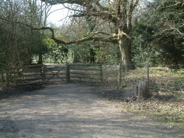
Image: © John Hilton Taken: 15 Mar 2007
This gate marks the Western Boundary of the National Trust Land at Colley Hill. The gated track forms part of the North Downs Way.
Images are licensed for reuse under creativecommons.org/licenses/by-sa/2.0
Image Location
Latitude
51.256437
Longitude
-0.223368