Mulligan's Bridge, The Corbet (4)
Introduction
The photograph on this page of Mulligan's Bridge, The Corbet (4) by Albert Bridge as part of the Geograph project.
The Geograph project started in 2005 with the aim of publishing, organising and preserving representative images for every square kilometre of Great Britain, Ireland and the Isle of Man.

There are currently over 7.5m images from over 14,400 individuals and you can help contribute to the project by visiting https://www.geograph.org.uk
Mulligan's Bridge, The Corbet (4)
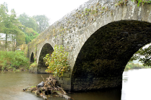
Image: © Albert Bridge Taken: 16 Oct 2013
The summer and autumn have been very dry – something shown by the colour of the arch nearest the camera. The rain today varied between heavy and very heavy but it would take much, much more to bring the Bann up to the level of the vegetation on the arches.
Images are licensed for reuse under creativecommons.org/licenses/by-sa/2.0
Image Location
Latitude
54.338581
Longitude
-6.207119