Monitoring well cover, Belfast
Introduction
The photograph on this page of Monitoring well cover, Belfast by Rossographer as part of the Geograph project.
The Geograph project started in 2005 with the aim of publishing, organising and preserving representative images for every square kilometre of Great Britain, Ireland and the Isle of Man.

There are currently over 7.5m images from over 14,400 individuals and you can help contribute to the project by visiting https://www.geograph.org.uk
Monitoring well cover, Belfast
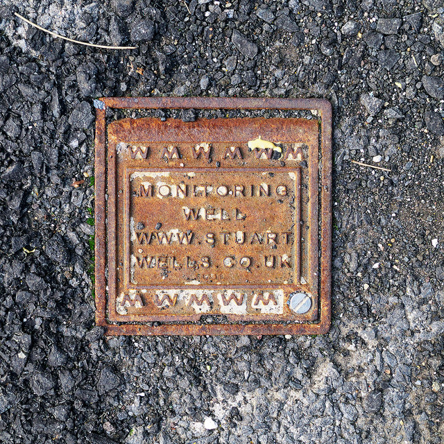
Image: © Rossographer Taken: 11 Oct 2013
See Image Another example from Stuart Well Services http://www.stuartgroup.ltd.uk/wellservices/index.php , this is located on Platform 2 of Botanic Railway Station in Belfast (just visible on the left in Image).
Images are licensed for reuse under creativecommons.org/licenses/by-sa/2.0
Image Location
Latitude
54.588445
Longitude
-5.931142