Vanished path
Introduction
The photograph on this page of Vanished path by James Allan as part of the Geograph project.
The Geograph project started in 2005 with the aim of publishing, organising and preserving representative images for every square kilometre of Great Britain, Ireland and the Isle of Man.

There are currently over 7.5m images from over 14,400 individuals and you can help contribute to the project by visiting https://www.geograph.org.uk
Vanished path
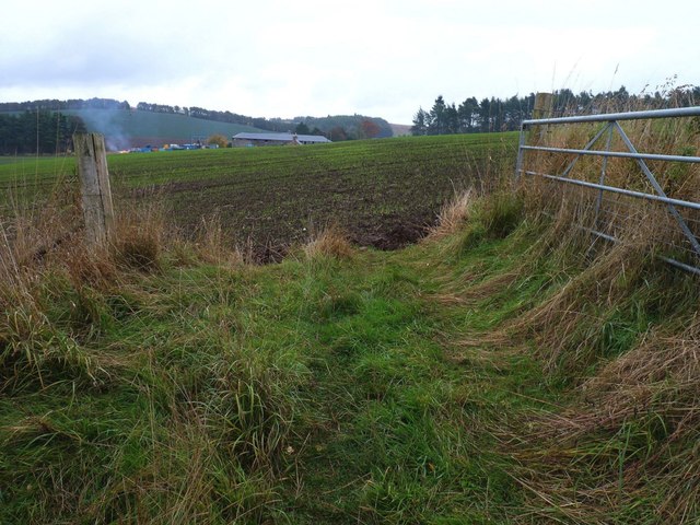
Image: © James Allan Taken: 14 Oct 2013
From this gate to Kilburns Farm on the far side of this field a path is clearly shown on the OS map. Sadly, it seems recently to have been ploughed out of existence, breaking a link in an otherwise continuous walking route from Balmerino to Peacehill and Wormit.
Images are licensed for reuse under creativecommons.org/licenses/by-sa/2.0
Image Location
Latitude
56.415578
Longitude
-3.016065