War memorial and Church of St Luke's, Shireoaks
Introduction
The photograph on this page of War memorial and Church of St Luke's, Shireoaks by Tim Heaton as part of the Geograph project.
The Geograph project started in 2005 with the aim of publishing, organising and preserving representative images for every square kilometre of Great Britain, Ireland and the Isle of Man.

There are currently over 7.5m images from over 14,400 individuals and you can help contribute to the project by visiting https://www.geograph.org.uk
War memorial and Church of St Luke's, Shireoaks
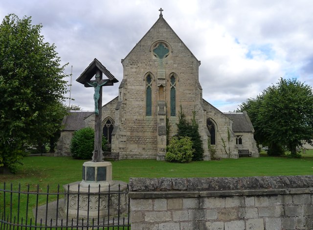
Image: © Tim Heaton Taken: 5 Oct 2013
The church was built in the 1860s with funding from the Duke of Newcastle (of Clumber Park). See http://web.archive.org/web/20131109145043/http://www.shireoakshistory.fsnet.co.uk:80/sitesofhistoricalinterest.htm
Images are licensed for reuse under creativecommons.org/licenses/by-sa/2.0
Image Location
Latitude
53.322409
Longitude
-1.170514