Shireoaks Row
Introduction
The photograph on this page of Shireoaks Row by Tim Heaton as part of the Geograph project.
The Geograph project started in 2005 with the aim of publishing, organising and preserving representative images for every square kilometre of Great Britain, Ireland and the Isle of Man.

There are currently over 7.5m images from over 14,400 individuals and you can help contribute to the project by visiting https://www.geograph.org.uk
Shireoaks Row
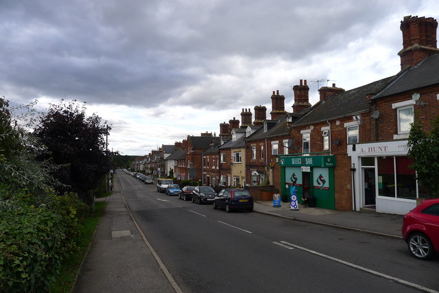
Image: © Tim Heaton Taken: 5 Oct 2013
A row of houses built by the Duke of Newcastle for his mineworkers, started in the late 1850's http://web.archive.org/web/20131109145043/http://www.shireoakshistory.fsnet.co.uk:80/sitesofhistoricalinterest.htm Cycle Route 6 follows this road west into the open country
Images are licensed for reuse under creativecommons.org/licenses/by-sa/2.0
Image Location
Latitude
53.32357
Longitude
-1.169441