Coleridge Road: flats conversion complete
Introduction
The photograph on this page of Coleridge Road: flats conversion complete by John Sutton as part of the Geograph project.
The Geograph project started in 2005 with the aim of publishing, organising and preserving representative images for every square kilometre of Great Britain, Ireland and the Isle of Man.

There are currently over 7.5m images from over 14,400 individuals and you can help contribute to the project by visiting https://www.geograph.org.uk
Coleridge Road: flats conversion complete
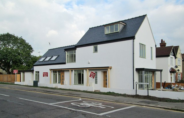
Image: © John Sutton Taken: 15 Oct 2013
Only the gardens and garages remain to be finished. Image] shows the work in progress in May 2013.
Images are licensed for reuse under creativecommons.org/licenses/by-sa/2.0
Image Location
Latitude
52.188129
Longitude
0.144999