The Brook flowing under Oakridge Avenue Radlett
Introduction
The photograph on this page of The Brook flowing under Oakridge Avenue Radlett by Jack Hill as part of the Geograph project.
The Geograph project started in 2005 with the aim of publishing, organising and preserving representative images for every square kilometre of Great Britain, Ireland and the Isle of Man.

There are currently over 7.5m images from over 14,400 individuals and you can help contribute to the project by visiting https://www.geograph.org.uk
The Brook flowing under Oakridge Avenue Radlett
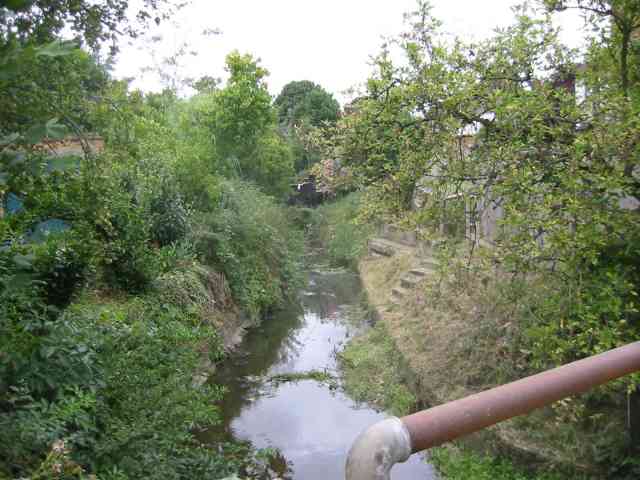
Image: © Jack Hill Taken: 12 Aug 2005
The brook was known as "Tykes Water" and flowed from Aldenham Reservoir to the Coln.
Images are licensed for reuse under creativecommons.org/licenses/by-sa/2.0
Image Location


Leaflet Map data © OpenStreetMap
Latitude
51.690482
Longitude
-0.330459