Former fruit warehouse on Candleriggs
Introduction
The photograph on this page of Former fruit warehouse on Candleriggs by Thomas Nugent as part of the Geograph project.
The Geograph project started in 2005 with the aim of publishing, organising and preserving representative images for every square kilometre of Great Britain, Ireland and the Isle of Man.

There are currently over 7.5m images from over 14,400 individuals and you can help contribute to the project by visiting https://www.geograph.org.uk
Former fruit warehouse on Candleriggs
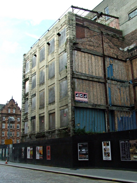
Image: © Thomas Nugent Taken: 7 Oct 2013
The Category B Listed building http://data.historic-scotland.gov.uk/pls/htmldb/f?p=2200:15:0::::BUILDING:32628 is in a sad state of repair. The surrounding buildings have been demolished, the fate of this building, which extends all the way to Brunswick Street, is unknown at the time of writing. See also Image
Images are licensed for reuse under creativecommons.org/licenses/by-sa/2.0
Image Location
Latitude
55.857564
Longitude
-4.246235