Former railway bridge, Laurencetown (1)
Introduction
The photograph on this page of Former railway bridge, Laurencetown (1) by Albert Bridge as part of the Geograph project.
The Geograph project started in 2005 with the aim of publishing, organising and preserving representative images for every square kilometre of Great Britain, Ireland and the Isle of Man.

There are currently over 7.5m images from over 14,400 individuals and you can help contribute to the project by visiting https://www.geograph.org.uk
Former railway bridge, Laurencetown (1)
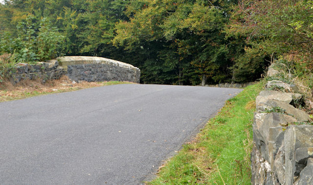
Image: © Albert Bridge Taken: 15 Oct 2013
Almost immediately after crossing the Bann Image, the railway passed under the Springvale Road by means of this bridge. Laurencetown station was below the bridge to the left. Image shows the arch.
Images are licensed for reuse under creativecommons.org/licenses/by-sa/2.0
Image Location
Latitude
54.377808
Longitude
-6.310376