Meeting of paths south of Witheridge
Introduction
The photograph on this page of Meeting of paths south of Witheridge by David Smith as part of the Geograph project.
The Geograph project started in 2005 with the aim of publishing, organising and preserving representative images for every square kilometre of Great Britain, Ireland and the Isle of Man.

There are currently over 7.5m images from over 14,400 individuals and you can help contribute to the project by visiting https://www.geograph.org.uk
Meeting of paths south of Witheridge
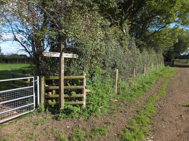
Image: © David Smith Taken: 10 Oct 2013
Here the Two Moors Way meets a local footpath and the Ridge and Valley Walk
Images are licensed for reuse under creativecommons.org/licenses/by-sa/2.0
Image Location
Latitude
50.913743
Longitude
-3.703515