West End Farm
Introduction
The photograph on this page of West End Farm by Graham Horn as part of the Geograph project.
The Geograph project started in 2005 with the aim of publishing, organising and preserving representative images for every square kilometre of Great Britain, Ireland and the Isle of Man.

There are currently over 7.5m images from over 14,400 individuals and you can help contribute to the project by visiting https://www.geograph.org.uk
West End Farm
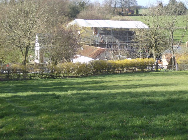
Image: © Graham Horn Taken: 18 Mar 2007
Taken from the minor road to Broadlands, looking north. This shows grazing land in front, sloping down to West End Farm (named on 1:25K maps) at the eastern side of the square. The farm building is completely enclosed by scaffolding and topped with a tarpaulin. Clearly, major work going on here.
Images are licensed for reuse under creativecommons.org/licenses/by-sa/2.0
Image Location


Leaflet Map data © OpenStreetMap
Latitude
51.116581
Longitude
-1.087885