Footway to High Barnet Station
Introduction
The photograph on this page of Footway to High Barnet Station by Martin Addison as part of the Geograph project.
The Geograph project started in 2005 with the aim of publishing, organising and preserving representative images for every square kilometre of Great Britain, Ireland and the Isle of Man.

There are currently over 7.5m images from over 14,400 individuals and you can help contribute to the project by visiting https://www.geograph.org.uk
Footway to High Barnet Station
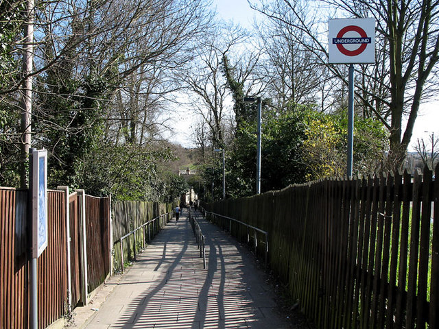
Image: © Martin Addison Taken: 16 Mar 2007
A steep footpath leading down from Barnet High Street, at the junction with Meadway, to the station entrance. Stories abound about city gents arriving at the station in an undignified manner having slid the length of the path on their bottoms in icy weather. Nowadays the pavement slabs have ridges to assist with grip.
Images are licensed for reuse under creativecommons.org/licenses/by-sa/2.0
Image Location
Latitude
51.650901
Longitude
-0.195599