The Old Road from Portwrinkle
Introduction
The photograph on this page of The Old Road from Portwrinkle by Tony Atkin as part of the Geograph project.
The Geograph project started in 2005 with the aim of publishing, organising and preserving representative images for every square kilometre of Great Britain, Ireland and the Isle of Man.

There are currently over 7.5m images from over 14,400 individuals and you can help contribute to the project by visiting https://www.geograph.org.uk
The Old Road from Portwrinkle
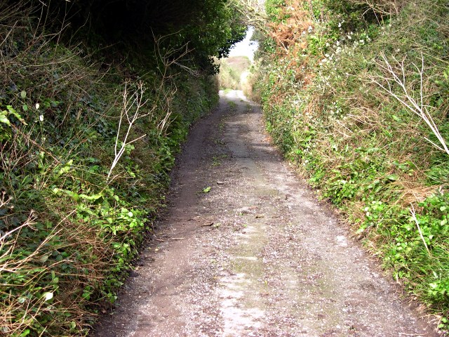
Image: © Tony Atkin Taken: 30 Oct 2005
This view is deceptive, it is really looking very steeply uphill. This narrow and very steep little lane was originally the only road into Portwrinkle. Finnygook lane, which comes down from Crafthole was a later addition.
Images are licensed for reuse under creativecommons.org/licenses/by-sa/2.0
Image Location
Latitude
50.3633
Longitude
-4.314494