Lane at Notter
Introduction
The photograph on this page of Lane at Notter by Derek Harper as part of the Geograph project.
The Geograph project started in 2005 with the aim of publishing, organising and preserving representative images for every square kilometre of Great Britain, Ireland and the Isle of Man.

There are currently over 7.5m images from over 14,400 individuals and you can help contribute to the project by visiting https://www.geograph.org.uk
Lane at Notter
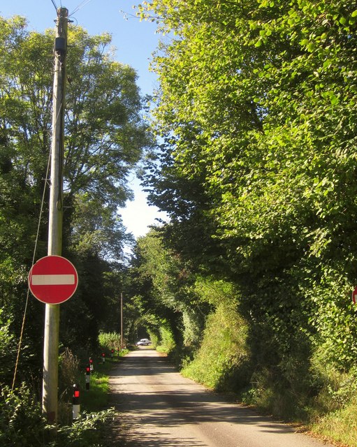
Image: © Derek Harper Taken: 10 Oct 2013
This was formerly the A38 before the new road and bridge were built. The no entry sign shows that vehicles cannot approach the main road in this direction.
Images are licensed for reuse under creativecommons.org/licenses/by-sa/2.0
Image Location


Leaflet Map data © OpenStreetMap
Latitude
50.424654
Longitude
-4.277499