River Lynher
Introduction
The photograph on this page of River Lynher by Derek Harper as part of the Geograph project.
The Geograph project started in 2005 with the aim of publishing, organising and preserving representative images for every square kilometre of Great Britain, Ireland and the Isle of Man.

There are currently over 7.5m images from over 14,400 individuals and you can help contribute to the project by visiting https://www.geograph.org.uk
River Lynher
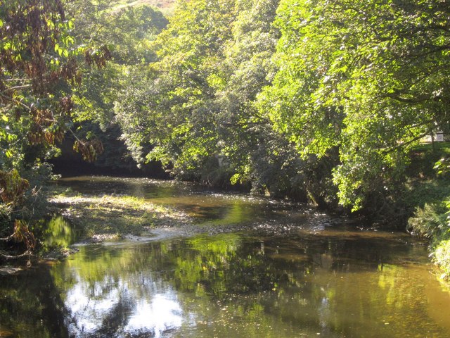
Image: © Derek Harper Taken: 10 Oct 2013
A detail of the scene in Image], with the river curving past trees towards the modern bridge under the A38.
Images are licensed for reuse under creativecommons.org/licenses/by-sa/2.0
Image Location


Leaflet Map data © OpenStreetMap
Latitude
50.425052
Longitude
-4.275547