Houses at Porlock Weir
Introduction
The photograph on this page of Houses at Porlock Weir by Derek Voller as part of the Geograph project.
The Geograph project started in 2005 with the aim of publishing, organising and preserving representative images for every square kilometre of Great Britain, Ireland and the Isle of Man.

There are currently over 7.5m images from over 14,400 individuals and you can help contribute to the project by visiting https://www.geograph.org.uk
Houses at Porlock Weir
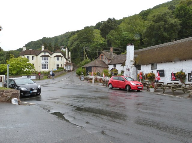
Image: © Derek Voller Taken: 15 Sep 2013
Taken from the car park at the end of the peculiarly named road, Dunster Steep. The road opposite gives access to the scenic toll road.
Images are licensed for reuse under creativecommons.org/licenses/by-sa/2.0
Image Location
Latitude
51.218347
Longitude
-3.626817