Hilly farmland at Ousden
Introduction
The photograph on this page of Hilly farmland at Ousden by Bob Jones as part of the Geograph project.
The Geograph project started in 2005 with the aim of publishing, organising and preserving representative images for every square kilometre of Great Britain, Ireland and the Isle of Man.

There are currently over 7.5m images from over 14,400 individuals and you can help contribute to the project by visiting https://www.geograph.org.uk
Hilly farmland at Ousden
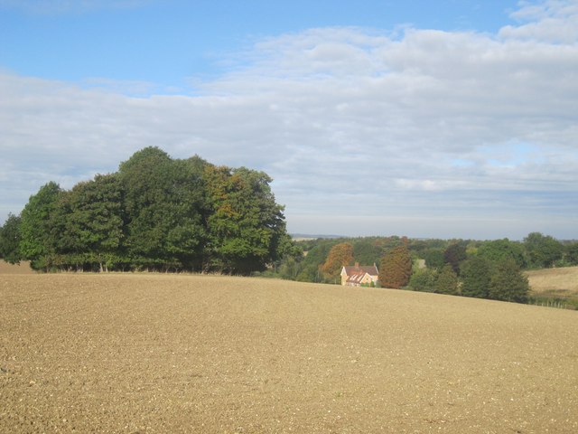
Image: © Bob Jones Taken: 8 Oct 2013
This view looks WNW from the path that links the road at Ousden with Littly Wood. The clump of trees is unnamed, but the building in the distance is Hall Farm. Ousden Church remains hidden behind the clump of trees.
Images are licensed for reuse under creativecommons.org/licenses/by-sa/2.0
Image Location
Latitude
52.205888
Longitude
0.545281