Maize near Hatt
Introduction
The photograph on this page of Maize near Hatt by Derek Harper as part of the Geograph project.
The Geograph project started in 2005 with the aim of publishing, organising and preserving representative images for every square kilometre of Great Britain, Ireland and the Isle of Man.

There are currently over 7.5m images from over 14,400 individuals and you can help contribute to the project by visiting https://www.geograph.org.uk
Maize near Hatt
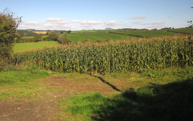
Image: © Derek Harper Taken: 10 Oct 2013
From the gate on Vollard's Lane shown in Image The field down to a tributary of Dean's Brook.
Images are licensed for reuse under creativecommons.org/licenses/by-sa/2.0
Image Location


Leaflet Map data © OpenStreetMap
Latitude
50.436041
Longitude
-4.265512