Footpath to SouthFord
Introduction
The photograph on this page of Footpath to SouthFord by J W Parker as part of the Geograph project.
The Geograph project started in 2005 with the aim of publishing, organising and preserving representative images for every square kilometre of Great Britain, Ireland and the Isle of Man.

There are currently over 7.5m images from over 14,400 individuals and you can help contribute to the project by visiting https://www.geograph.org.uk
Footpath to SouthFord
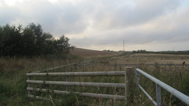
Image: © J W Parker Taken: 12 Sep 2013
At this 3 point track junction the Pylon and the fence line shows the track to Southford. This is a little off the track which makes it seem overgrown. This footpath comes out at Southford Lane where you turn right and after a short walk along the road join a track that goes along the River Yar.
Images are licensed for reuse under creativecommons.org/licenses/by-sa/2.0
Image Location
Latitude
50.605118
Longitude
-1.272613