Former A388 at Hatt
Introduction
The photograph on this page of Former A388 at Hatt by Derek Harper as part of the Geograph project.
The Geograph project started in 2005 with the aim of publishing, organising and preserving representative images for every square kilometre of Great Britain, Ireland and the Isle of Man.

There are currently over 7.5m images from over 14,400 individuals and you can help contribute to the project by visiting https://www.geograph.org.uk
Former A388 at Hatt
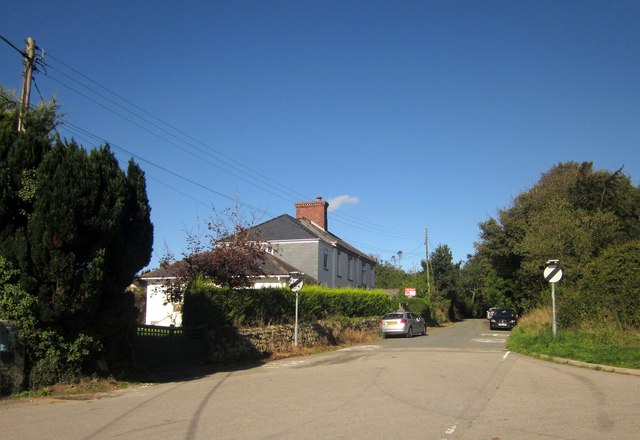
Image: © Derek Harper Taken: 10 Oct 2013
Looking right from close to the garage shown in Image The road has been superseded; the new road runs parallel less than 30 metres to the right.
Images are licensed for reuse under creativecommons.org/licenses/by-sa/2.0
Image Location
Latitude
50.437012
Longitude
-4.257249