Barn by Vollard's Lane
Introduction
The photograph on this page of Barn by Vollard's Lane by Derek Harper as part of the Geograph project.
The Geograph project started in 2005 with the aim of publishing, organising and preserving representative images for every square kilometre of Great Britain, Ireland and the Isle of Man.

There are currently over 7.5m images from over 14,400 individuals and you can help contribute to the project by visiting https://www.geograph.org.uk
Barn by Vollard's Lane
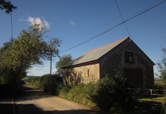
Image: © Derek Harper Taken: 10 Oct 2013
The lane leads west from Hatt. The barn is the last structure in the village, apart from one house on its own 100 metres down the lane.
Images are licensed for reuse under creativecommons.org/licenses/by-sa/2.0
Image Location


Leaflet Map data © OpenStreetMap
Latitude
50.436088
Longitude
-4.26312