The Old Vicarage, Ovingham
Introduction
The photograph on this page of The Old Vicarage, Ovingham by Andrew Curtis as part of the Geograph project.
The Geograph project started in 2005 with the aim of publishing, organising and preserving representative images for every square kilometre of Great Britain, Ireland and the Isle of Man.

There are currently over 7.5m images from over 14,400 individuals and you can help contribute to the project by visiting https://www.geograph.org.uk
The Old Vicarage, Ovingham
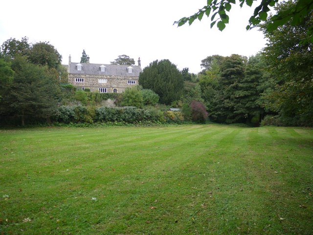
Image: © Andrew Curtis Taken: 11 Oct 2013
The present building probably occupies the site of the parson's house, destroyed by the Scots in 1293, 1312 and 1316. It was founded or rebuilt c.1378 as a small monastic establishment of Augustinian canons and vicarage combined, for in that year a licence was granted. The cell was abolished but the vicar could not be dispossessed of his accommodation in the building. In 1628 it was rebuilt, much in its present form, with additional alterations being made in the 19th century. http://www.heritagegateway.org.uk/Gateway/Results_Single.aspx?resourceID=5&uid=1370472 The gateway on West Road, opposite St Mary's Church, is shown here Image
Images are licensed for reuse under creativecommons.org/licenses/by-sa/2.0
Image Location


Leaflet Map data © OpenStreetMap
Latitude
54.967224
Longitude
-1.868766