Bridleway at edge of field, Spennells, Kidderminster
Introduction
The photograph on this page of Bridleway at edge of field, Spennells, Kidderminster by P L Chadwick as part of the Geograph project.
The Geograph project started in 2005 with the aim of publishing, organising and preserving representative images for every square kilometre of Great Britain, Ireland and the Isle of Man.

There are currently over 7.5m images from over 14,400 individuals and you can help contribute to the project by visiting https://www.geograph.org.uk
Bridleway at edge of field, Spennells, Kidderminster
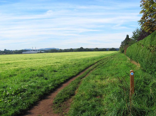
Image: © P L Chadwick Taken: 6 Oct 2013
The bridleway here runs over a circular path known as Railway Path. The disc on the waymark post confirms this is a public bridleway.
Images are licensed for reuse under creativecommons.org/licenses/by-sa/2.0
Image Location
Latitude
52.365626
Longitude
-2.230527