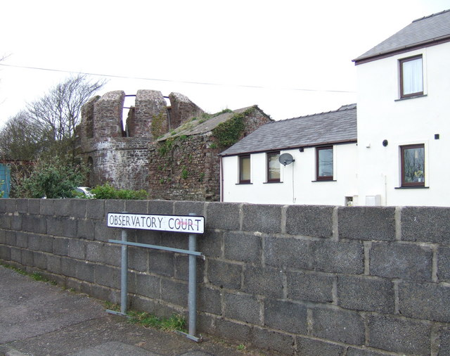
What on earth is it?
Introduction
The photograph on this page of What on earth is it? by Natasha Ceridwen de Chroustchoff as part of the Geograph project.
The Geograph project started in 2005 with the aim of publishing, organising and preserving representative images for every square kilometre of Great Britain, Ireland and the Isle of Man.
There are currently over 7.5m images from over 14,400 individuals and you can help contribute to the project by visiting https://www.geograph.org.uk

Image: © Natasha Ceridwen de Chroustchoff Taken: 17 Mar 2007
The streetname gives the game away but there is nothing on the OS map, nor in the Pevsner Architectural Guide, to prepare you for this sight of an early C19 observatory lurking in the middle of a C20 housing estate here in the Milford Haven suburb of Hakin. Although in private ownership it is a Grade One monument.

