Barns at farmyard entrance, Underhill Farm, Winderton
Introduction
The photograph on this page of Barns at farmyard entrance, Underhill Farm, Winderton by Robin Stott as part of the Geograph project.
The Geograph project started in 2005 with the aim of publishing, organising and preserving representative images for every square kilometre of Great Britain, Ireland and the Isle of Man.

There are currently over 7.5m images from over 14,400 individuals and you can help contribute to the project by visiting https://www.geograph.org.uk
Barns at farmyard entrance, Underhill Farm, Winderton
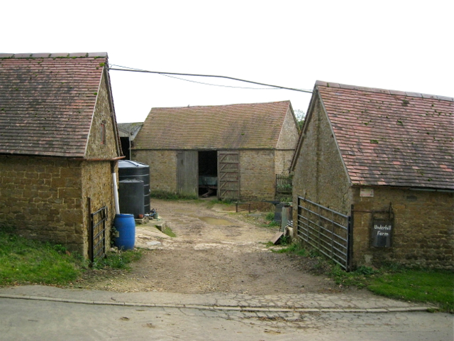
Image: © Robin Stott Taken: 18 Oct 2012
The rooflines of the nearer barns follow the slope of the ground. They and many other buildings locally are built of Marlstone Rock, also known as Hornton Stone after the quarries around Hornton and Edgehill. It is an iron-rich shelly limestone that is blue-green freshly quarried, oxidising to brown.
Images are licensed for reuse under creativecommons.org/licenses/by-sa/2.0
Image Location


Leaflet Map data © OpenStreetMap
Latitude
52.063085
Longitude
-1.523992