Newbold Metrolink Station
Introduction
The photograph on this page of Newbold Metrolink Station by David Dixon as part of the Geograph project.
The Geograph project started in 2005 with the aim of publishing, organising and preserving representative images for every square kilometre of Great Britain, Ireland and the Isle of Man.

There are currently over 7.5m images from over 14,400 individuals and you can help contribute to the project by visiting https://www.geograph.org.uk
Newbold Metrolink Station
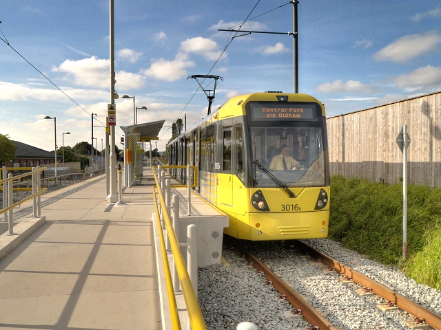
Image: © David Dixon Taken: 6 Oct 2013
Metrolink tram 3016 leaves Newbold operating on a shortened route between Rochdale and Central Park. The embankment between Kingsway and Milnrow Road has been altered so this stop is near ground level alongside the Morrisons supermarket car park.
Images are licensed for reuse under creativecommons.org/licenses/by-sa/2.0
Image Location
Latitude
53.613382
Longitude
-2.136001