Wetland around the Burn of Voy
Introduction
The photograph on this page of Wetland around the Burn of Voy by Bill Boaden as part of the Geograph project.
The Geograph project started in 2005 with the aim of publishing, organising and preserving representative images for every square kilometre of Great Britain, Ireland and the Isle of Man.

There are currently over 7.5m images from over 14,400 individuals and you can help contribute to the project by visiting https://www.geograph.org.uk
Wetland around the Burn of Voy
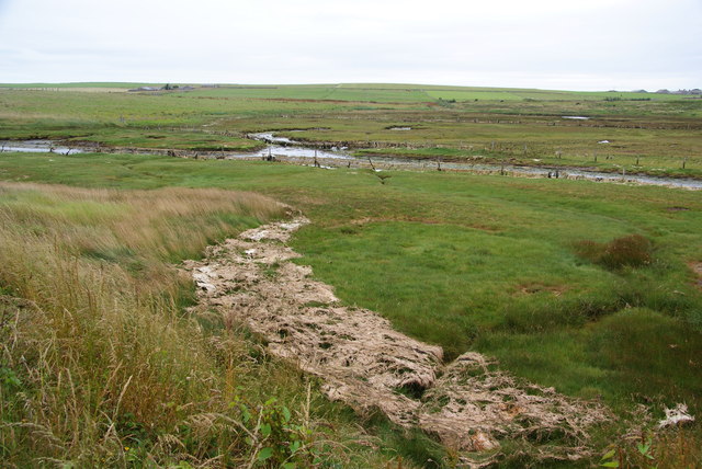
Image: © Bill Boaden Taken: 3 Aug 2013
The burn is not far from the sea in the Bay of Suckquoy, and it is tidal here.
Images are licensed for reuse under creativecommons.org/licenses/by-sa/2.0
Image Location
Latitude
58.921533
Longitude
-2.826444