
View to the church north of the Manor House, Wormleighton
Introduction
The photograph on this page of View to the church north of the Manor House, Wormleighton by Robin Stott as part of the Geograph project.
The Geograph project started in 2005 with the aim of publishing, organising and preserving representative images for every square kilometre of Great Britain, Ireland and the Isle of Man.

There are currently over 7.5m images from over 14,400 individuals and you can help contribute to the project by visiting https://www.geograph.org.uk
View to the church north of the Manor House, Wormleighton
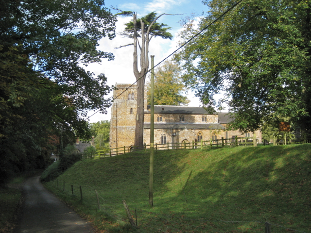
Image: © Robin Stott Taken: 14 Oct 2012
Douglas Hickman gives a warm description of the church and recounts that George Washington's family had connections with the village as early as 1595. "Down in the fields to the west are the extensive earthworks of the mediaeval village, depopulated in 1498. A spring once fed a reservoir and a series of stew ponds for Friday fish; and the moated manor stood where boats now ply along the Oxford Canal." Douglas Hickman. A Shell Guide to Warwickshire. London: Faber & Faber, 1979. ISBN 0-571-10831-8
Images are licensed for reuse under creativecommons.org/licenses/by-sa/2.0
Image Location

Latitude
52.181632
Longitude
-1.346783