Curvy A350
Introduction
The photograph on this page of Curvy A350 by Simon Scurr as part of the Geograph project.
The Geograph project started in 2005 with the aim of publishing, organising and preserving representative images for every square kilometre of Great Britain, Ireland and the Isle of Man.

There are currently over 7.5m images from over 14,400 individuals and you can help contribute to the project by visiting https://www.geograph.org.uk
Curvy A350
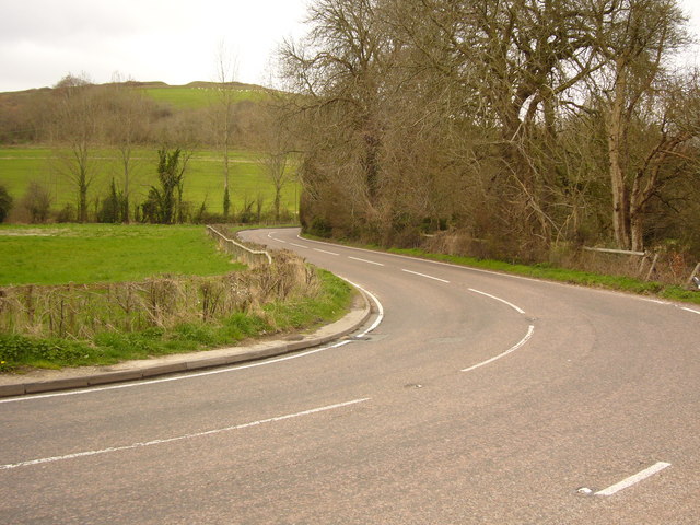
Image: © Simon Scurr Taken: 17 Mar 2007
The A350 snakes its way between the hills as it wends its way from Blandford Forum to Shaftesbury. Here just north of Stourpaine, Hod Hill can be seen in the background.
Images are licensed for reuse under creativecommons.org/licenses/by-sa/2.0
Image Location
Latitude
50.897237
Longitude
-2.194043