Mixed Land Use
Introduction
The photograph on this page of Mixed Land Use by Simon Scurr as part of the Geograph project.
The Geograph project started in 2005 with the aim of publishing, organising and preserving representative images for every square kilometre of Great Britain, Ireland and the Isle of Man.

There are currently over 7.5m images from over 14,400 individuals and you can help contribute to the project by visiting https://www.geograph.org.uk
Mixed Land Use
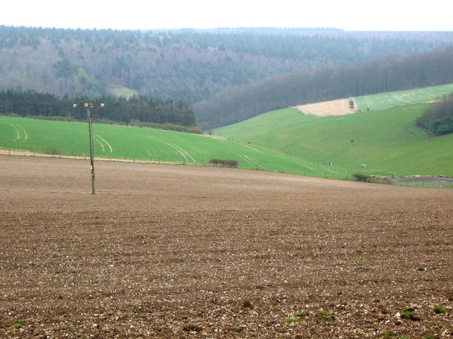
Image: © Simon Scurr Taken: 17 Mar 2007
Arable, livestock and forestry mix on the western edge of Cranborne Chase. Can you spot the cows?
Images are licensed for reuse under creativecommons.org/licenses/by-sa/2.0
Image Location


Leaflet Map data © OpenStreetMap
Latitude
50.944678
Longitude
-2.16008