Staithes RNLI M3 Submersible Tractor Unit
Introduction
The photograph on this page of Staithes RNLI M3 Submersible Tractor Unit by Mike Kirby as part of the Geograph project.
The Geograph project started in 2005 with the aim of publishing, organising and preserving representative images for every square kilometre of Great Britain, Ireland and the Isle of Man.

There are currently over 7.5m images from over 14,400 individuals and you can help contribute to the project by visiting https://www.geograph.org.uk
Staithes RNLI M3 Submersible Tractor Unit
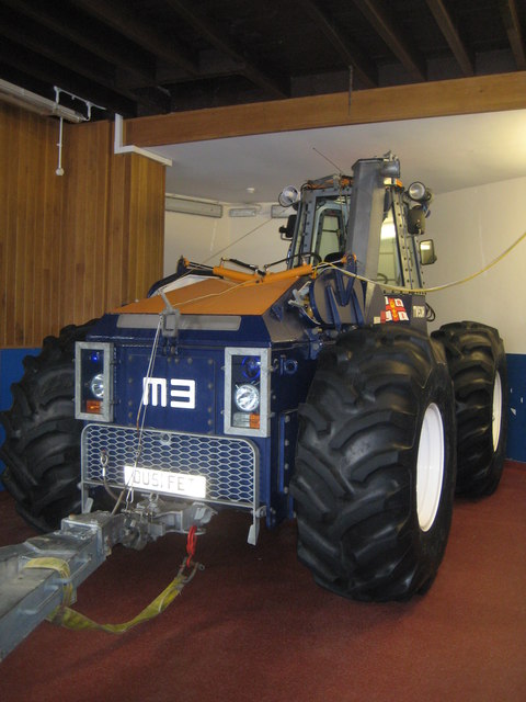
Image: © Mike Kirby Taken: 3 Oct 2013
This big beast is used to get the lifeboat both launched and recovered from the sea.
Images are licensed for reuse under creativecommons.org/licenses/by-sa/2.0
Image Location
Latitude
54.559839
Longitude
-0.791937