Field east of Balbeggie
Introduction
The photograph on this page of Field east of Balbeggie by Richard Webb as part of the Geograph project.
The Geograph project started in 2005 with the aim of publishing, organising and preserving representative images for every square kilometre of Great Britain, Ireland and the Isle of Man.

There are currently over 7.5m images from over 14,400 individuals and you can help contribute to the project by visiting https://www.geograph.org.uk
Field east of Balbeggie
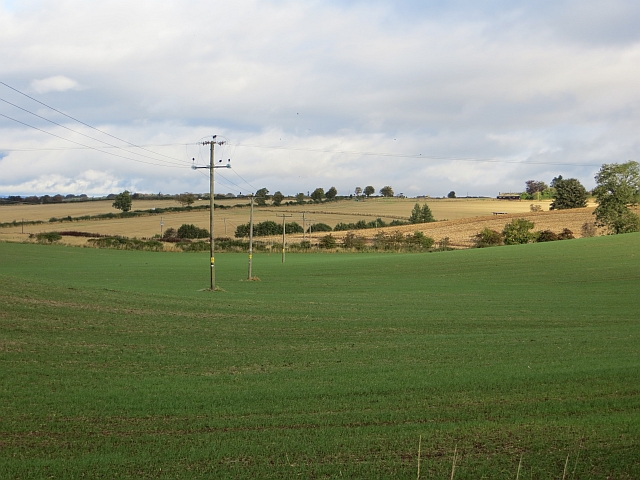
Image: © Richard Webb Taken: 8 Oct 2013
Winter cereals are quite popular around here. The usual nip across the stubble into off road squares was rarely possible today. The field is next to the village.
Images are licensed for reuse under creativecommons.org/licenses/by-sa/2.0
Image Location
Latitude
56.450367
Longitude
-3.344717