Bradiford Reserve
Introduction
The photograph on this page of Bradiford Reserve by Derek Harper as part of the Geograph project.
The Geograph project started in 2005 with the aim of publishing, organising and preserving representative images for every square kilometre of Great Britain, Ireland and the Isle of Man.

There are currently over 7.5m images from over 14,400 individuals and you can help contribute to the project by visiting https://www.geograph.org.uk
Bradiford Reserve
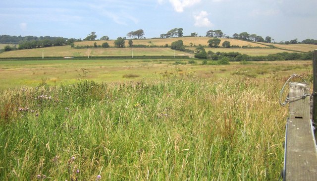
Image: © Derek Harper Taken: 18 Jul 2013
From the gate shown in Image], looking to the right, so up and across the Bradiford Water valley. The reserve, on the marshy surrounds of the stream, is described at http://www.devonbirds.org/birdwatching/places_to_go/bradiford . The hill is climbed by Poleshill Lane, so is perhaps called Poles Hill. At its foot runs the A361.
Images are licensed for reuse under creativecommons.org/licenses/by-sa/2.0
Image Location
Latitude
51.087607
Longitude
-4.084586