King Edward VII Park, Willesden
Introduction
The photograph on this page of King Edward VII Park, Willesden by David Howard as part of the Geograph project.
The Geograph project started in 2005 with the aim of publishing, organising and preserving representative images for every square kilometre of Great Britain, Ireland and the Isle of Man.

There are currently over 7.5m images from over 14,400 individuals and you can help contribute to the project by visiting https://www.geograph.org.uk
King Edward VII Park, Willesden
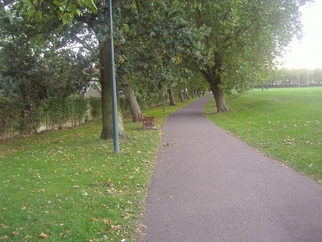
Image: © David Howard Taken: 9 Oct 2013
During WW2 the park was largely filled with sand which was presumably wanted for anti-bomb blast sandbags and for putting into buckets for fire extinguishing. There was a piggery for home food production. A few years after the war it received hundreds of lorry loads of smelly incinerated refuse which was placed over the sand and created a higher and well drained surface for the park. There was an open-air swimming pool at the NW corner of the park. (Graham Cole)
Images are licensed for reuse under creativecommons.org/licenses/by-sa/2.0
Image Location
Latitude
51.539277
Longitude
-0.229146