The start of the 'Usk Flood Route'
Introduction
The photograph on this page of The start of the 'Usk Flood Route' by Christine Johnstone as part of the Geograph project.
The Geograph project started in 2005 with the aim of publishing, organising and preserving representative images for every square kilometre of Great Britain, Ireland and the Isle of Man.

There are currently over 7.5m images from over 14,400 individuals and you can help contribute to the project by visiting https://www.geograph.org.uk
The start of the 'Usk Flood Route'
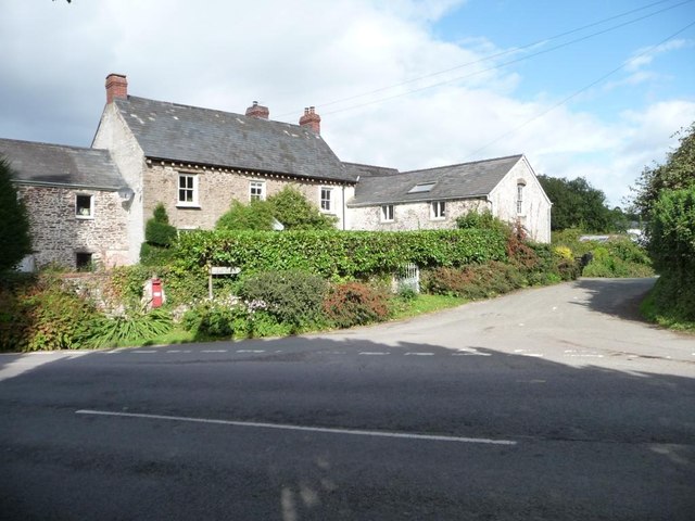
Image: © Christine Johnstone Taken: 16 Sep 2013
As signposted at the 16 metre spot height in the centre of Llanllowell.
Images are licensed for reuse under creativecommons.org/licenses/by-sa/2.0
Image Location
Latitude
51.682954
Longitude
-2.879525