Community Hall at Hill End Lane St Albans
Introduction
The photograph on this page of Community Hall at Hill End Lane St Albans by Jack Hill as part of the Geograph project.
The Geograph project started in 2005 with the aim of publishing, organising and preserving representative images for every square kilometre of Great Britain, Ireland and the Isle of Man.

There are currently over 7.5m images from over 14,400 individuals and you can help contribute to the project by visiting https://www.geograph.org.uk
Community Hall at Hill End Lane St Albans
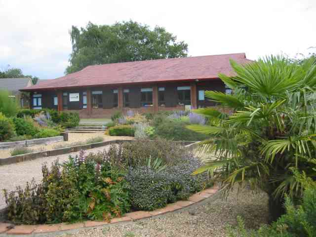
Image: © Jack Hill Taken: 12 Aug 2005
This building houses play schools and similar activities. The gravel areas in the planting are intended for use as boules rinks by parents.The area was once a hospital so there are hundreds of new houses in the vicinity.
Images are licensed for reuse under creativecommons.org/licenses/by-sa/2.0
Image Location
Latitude
51.737846
Longitude
-0.309886