Bosence farm
Introduction
The photograph on this page of Bosence farm by Jonathan Billinger as part of the Geograph project.
The Geograph project started in 2005 with the aim of publishing, organising and preserving representative images for every square kilometre of Great Britain, Ireland and the Isle of Man.

There are currently over 7.5m images from over 14,400 individuals and you can help contribute to the project by visiting https://www.geograph.org.uk
Bosence farm
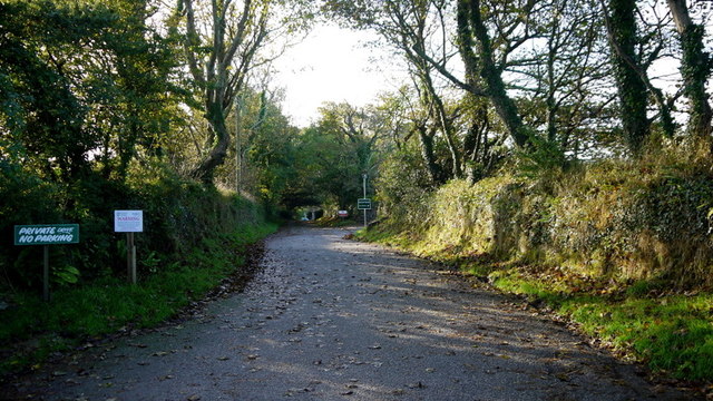
Image: © Jonathan Billinger Taken: 4 Oct 2013
A 'Rehab' centre deep in the West Cornwall countryside. A footpath leads along the drive from the B3280. See http://www.bosencefarm.co.uk/
Images are licensed for reuse under creativecommons.org/licenses/by-sa/2.0
Image Location
Latitude
50.141203
Longitude
-5.393991