Russell Gardens
Introduction
The photograph on this page of Russell Gardens by Bill Boaden as part of the Geograph project.
The Geograph project started in 2005 with the aim of publishing, organising and preserving representative images for every square kilometre of Great Britain, Ireland and the Isle of Man.

There are currently over 7.5m images from over 14,400 individuals and you can help contribute to the project by visiting https://www.geograph.org.uk
Russell Gardens
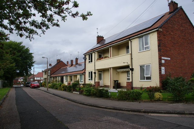
Image: © Bill Boaden Taken: 8 Oct 2013
Sheltered housing run by the Council, and making full use of solar power.
Images are licensed for reuse under creativecommons.org/licenses/by-sa/2.0
Image Location
Latitude
53.409822
Longitude
-2.183187