Little Hele Wood
Introduction
The photograph on this page of Little Hele Wood by Derek Harper as part of the Geograph project.
The Geograph project started in 2005 with the aim of publishing, organising and preserving representative images for every square kilometre of Great Britain, Ireland and the Isle of Man.

There are currently over 7.5m images from over 14,400 individuals and you can help contribute to the project by visiting https://www.geograph.org.uk
Little Hele Wood
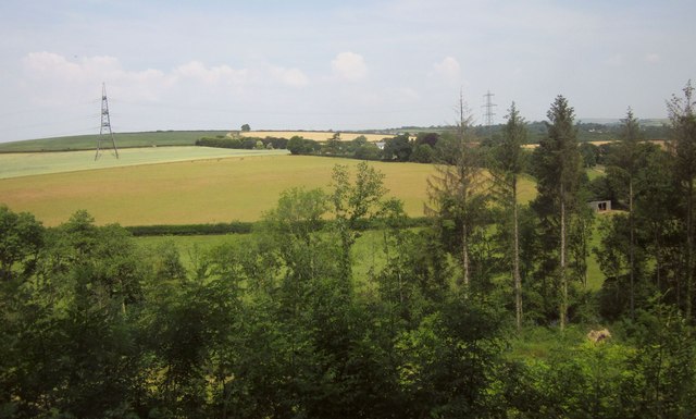
Image: © Derek Harper Taken: 18 Jul 2013
A view from the top deck of a 155 bus across the wood and the Mole valley to Grilstone, a farm largely hidden by trees which possesses six separately listed buildings / structures.
Images are licensed for reuse under creativecommons.org/licenses/by-sa/2.0
Image Location
Latitude
51.004905
Longitude
-3.812901