Forest Hill Road, at site of former Honor Oak station
Introduction
The photograph on this page of Forest Hill Road, at site of former Honor Oak station by Ben Brooksbank as part of the Geograph project.
The Geograph project started in 2005 with the aim of publishing, organising and preserving representative images for every square kilometre of Great Britain, Ireland and the Isle of Man.

There are currently over 7.5m images from over 14,400 individuals and you can help contribute to the project by visiting https://www.geograph.org.uk
Forest Hill Road, at site of former Honor Oak station
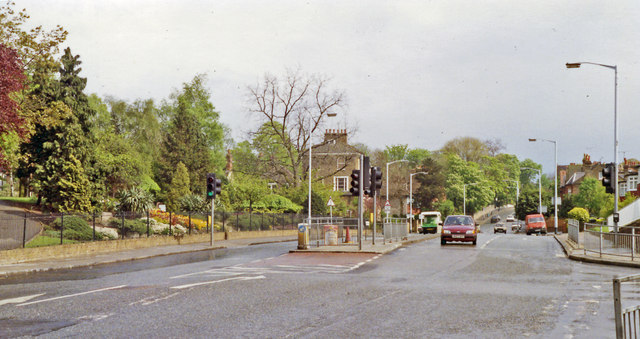
Image: © Ben Brooksbank Taken: 2 May 1992
View SE on B238 at Wood Vale. Honor Oak station on the ex-SE&CR branch from Nunhead to Crystal Palace (High Level) had been on the right. The station was closed, along with the branch, on 20/9/54.
Images are licensed for reuse under creativecommons.org/licenses/by-sa/2.0
Image Location
Latitude
51.450235
Longitude
-0.057728