Applegarth Rise, Intake
Introduction
The photograph on this page of Applegarth Rise, Intake by Richard Vince as part of the Geograph project.
The Geograph project started in 2005 with the aim of publishing, organising and preserving representative images for every square kilometre of Great Britain, Ireland and the Isle of Man.

There are currently over 7.5m images from over 14,400 individuals and you can help contribute to the project by visiting https://www.geograph.org.uk
Applegarth Rise, Intake
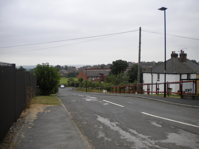
Image: © Richard Vince Taken: 10 Jul 2013
An inclined road off the A6135 just south east of Manor Top, providing access to some low rise blocks of flats, one of which is visible in the centre. The white semi detached house on the right fronts onto the A6135, despite being considerably below its level. Access is via steps from the pavement down into the front garden.
Images are licensed for reuse under creativecommons.org/licenses/by-sa/2.0
Image Location
Latitude
53.35986
Longitude
-1.424777